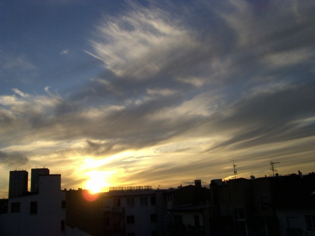
Cirrus duplicatus Ci du
Genus Cirrus, Variety duplicatus
- Photo
- Stefan Bauer
- Location
- Mainz
- Taken
- 7 July 2007
In the foreground, two overlapping layers of cirrus clouds can be seen. This cloud formation is called Cirrus duplicatus. The lowest layer appears relatively dark. In the background on the right, Cirrus radiatus.
The weather that day
Large-scale weather pattern
Cyclonic westerly Wz
Lows race from west to east across the North Sea and Scandinavia. Fronts and rear sides alternate: ahead of a warm front, cirrus and cirrostratus thicken into altostratus and nimbostratus; in the cool air behind, cumulus and cumulonimbus bring showers. Changeable and often windy.
Typical clouds in this pattern: Cirrus, Cirrostratus, Altostratus, Nimbostratus, Cumulus, Cumulonimbus, Stratocumulus
The weather pattern describes the flow over central Europe on that day – locally, the sky may have looked different.
The sky at nearby weather stations
In the photo: Cirrus duplicatus
As under “Identify”: ✓ = reported by a weather station, dots = estimated from height and cover (automatic measurement). The stations see their own sky – not necessarily the cloud in the photo.
Does the weather fit the cloud?
Cirrus – observed at a weather station ✓ (Frankfurt/Main · 18 km · 20:00) · Reanalysis quite possible · Why?
- Observation: An observer at the Frankfurt/Main station (18 km, 20:00) reports Cirrus.
- Reanalysis (19:00), quite possible: High cloud 26 %. High ice clouds, not closed: cirrus.
Formation: Ice cloud at great height (usually above 6 km, below about −35 °C). Forms when moist air is lifted high up, or as left-over ice from convective clouds and contrails; falling crystals make the fibres.
Observation before model: what an observer at a weather station reported counts for more than an estimate from a station’s instruments and more than the weather model. Each piece of information counts for less the farther away the station and the further from the time of the photo; the strongest comes first. The ERA5 reanalysis (grid point at the photo location, about 25 km grid spacing) only knows the cover per étage and values at the ground – its level is a rough estimate.
Measurements that day
- Temperature
- 9.2 to 20.8 °C
- Precipitation
- none measured
Sources: observations and measurements from Deutscher Wetterdienst, the German weather service (CC BY 4.0), Wiesbaden-Auringen (17 km N), Wiesbaden-Biebrich (8 km NW); weather pattern after Hess/Brezowsky from the DWD catalogue GWL-REA; ERA5 reanalysis by Copernicus/ECMWF (CC BY 4.0) via Open-Meteo. Times in local time.
Similar photos
-
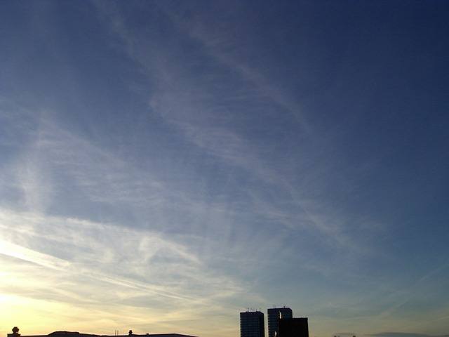 Cirrus duplicatus +4 Mainz 2007
-
 Cirrus fibratus Hankerton 2012
-
 Cirrocumulus mammatus, Cirrostratus fibratus, Cirrus fibratus Störmthaler Lake 2012
-
 Cirrus spissatus Darmstadt 2012
-
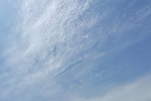 Cirrocumulus floccus lacunosus +2 Darmstadt 2012
-
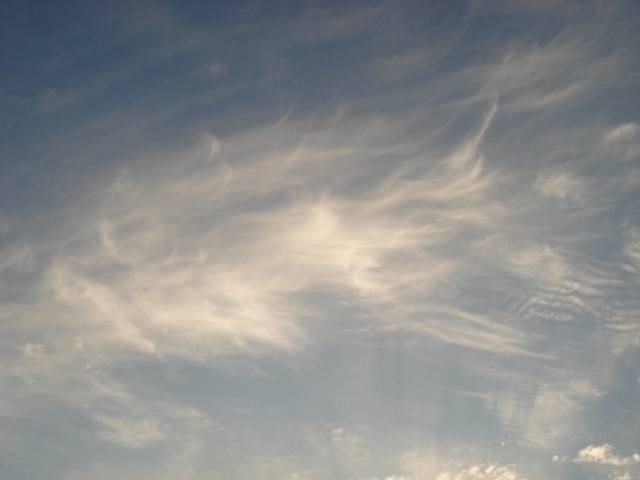 Cirrus fibratus +3 Atlanta 2012
-
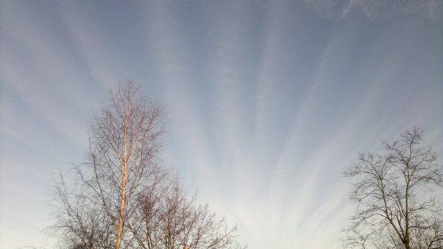 Cirrus radiatus Hucknall 2012
-
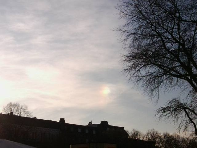 Sun dog +1 Hamburg 2011
Write a comment or ask a question about this photo
Every comment is read before it is published. Your email address is only needed for the confirmation link and a short message once the comment is online; it is deleted after that.