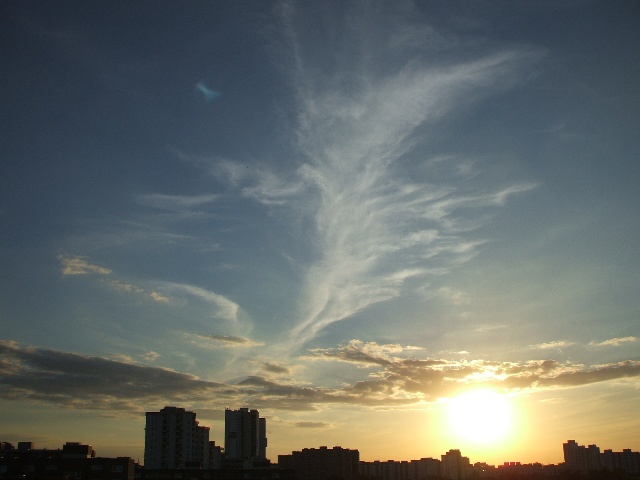
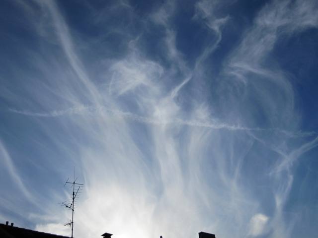
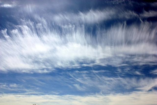
Like a banner, this Cirrus fibratus spreads across the sky over Berlin. In the lower part of the image, remnants of an Altocumulus field.
The weather that day
Cirrus also reported at nearby weather stations · South-shifted westerly
Large-scale weather pattern
South-shifted westerly Ws
The westerly flow lies further south and lows cross central Europe directly. Frequent rain from nimbostratus and altostratus, windy; in winter often snow along the boundary between mild and cold air.
Reanalysis · what simplified rules derive from the ERA5 reanalysis (coarse grid, no vertical profile)
High
none
Middle
hardly any
Low
none
✓ observed · station up to 20 km / up to 50 km / further · ●●● likely · ●●○ quite possible · ●○○ possiblePhoto also in the photo
As under “Identify”: ✓ = reported by a weather station, dots = estimated from height and cover (automatic measurement). The stations see their own sky – not necessarily the cloud in the photo.
Temperature Dew point · 5:00 to 22:00 Air pressure at the station · 5:00 to 22:00
Sources: observations and measurements from Deutscher Wetterdienst, the German weather service (CC BY 4.0), Berlin-Alexanderplatz (1 km SW); weather pattern after Hess/Brezowsky from the DWD catalogue GWL-REA; ERA5 reanalysis by Copernicus/ECMWF (CC BY 4.0) via Open-Meteo. Times in local time.
Write a comment or ask a question about this photo
Every comment is read before it is published. Your email address is only needed for the confirmation link and a short message once the comment is online; it is deleted after that.



Write a comment or ask a question about this photo
Every comment is read before it is published. Your email address is only needed for the confirmation link and a short message once the comment is online; it is deleted after that.