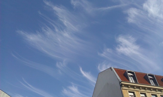
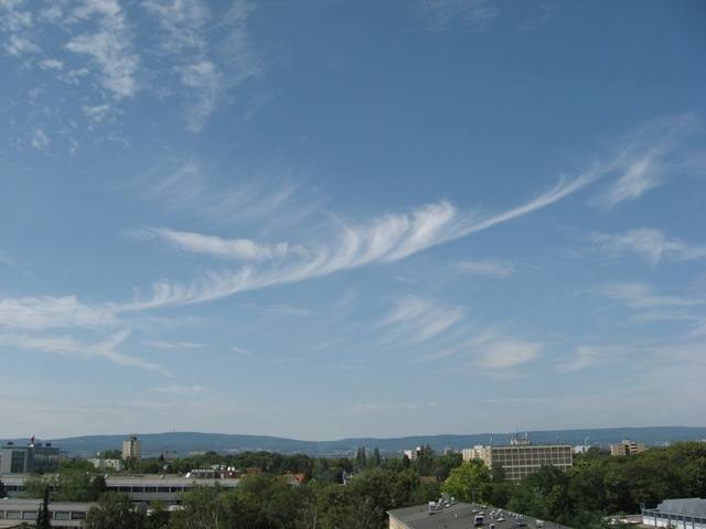
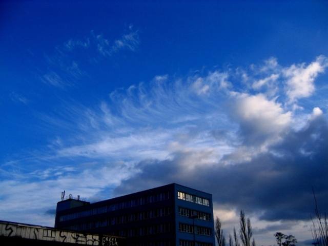
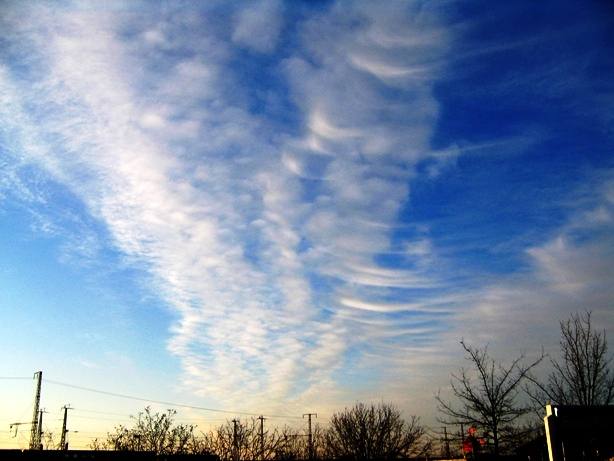
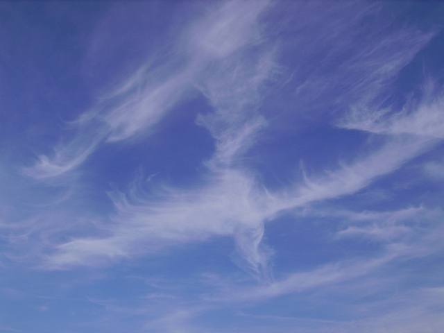
Cirrus uncinus Ci unc
Genus Cirrus, Species uncinus
- Photo
- Stefan Bauer
- Location
- Leipzig, Germany
- Taken
- 17 August 2011, 16:48
Comma-shaped Cirrus funcinus.
The weather that day
Large-scale weather pattern
Anticyclonic bridge across central Europe BMa
A ridge of high pressure links the Azores high with a high over eastern Europe. Similar to “High over central Europe”: fair-weather cumulus in summer, persistent fog and low stratus in winter.
Typical clouds in this pattern: Cumulus, Stratus, Stratocumulus, Cirrus
The weather pattern describes the flow over central Europe on that day – locally, the sky may have looked different.
The sky at nearby weather stations
In the photo: Cirrus uncinus · 17:00
As under “Identify”: ✓ = reported by a weather station, dots = estimated from height and cover (automatic measurement). The stations see their own sky – not necessarily the cloud in the photo.
Does the weather fit the cloud?
Cirrus – observed at a weather station ✓ (Leipzig-Holzhausen · 6 km · 17:00) · Reanalysis quite possible · Why?
- Observation: An observer at the Leipzig-Holzhausen station (6 km, 17:00) reports Cirrus.
- Reanalysis (15:00), quite possible: High cloud 61 %. High ice clouds, not closed: cirrus.
Formation: Ice cloud at great height (usually above 6 km, below about −35 °C). Forms when moist air is lifted high up, or as left-over ice from convective clouds and contrails; falling crystals make the fibres.
Observation before model: what an observer at a weather station reported counts for more than an estimate from a station’s instruments and more than the weather model. Each piece of information counts for less the farther away the station and the further from the time of the photo; the strongest comes first. The ERA5 reanalysis (grid point at the photo location, about 25 km grid spacing) only knows the cover per étage and values at the ground – its level is a rough estimate.
Measurements at the time of the photo
- Temperature
- 25.6 °C · Dew point 8.4 °C
- Humidity
- 34 %
- Wind
- from the south-west, 7 km/h (Beaufort 2)
- Precipitation
- none measured
Between 19:00 and 21:00 the temperature dropped by 5.6 °C.
Sources: observations and measurements from Deutscher Wetterdienst, the German weather service (CC BY 4.0), Leipzig-Holzhausen (6 km SE); weather pattern after Hess/Brezowsky from the DWD catalogue GWL-REA; ERA5 reanalysis by Copernicus/ECMWF (CC BY 4.0) via Open-Meteo. Times in local time.

Write a comment or ask a question about this photo
Every comment is read before it is published. Your email address is only needed for the confirmation link and a short message once the comment is online; it is deleted after that.