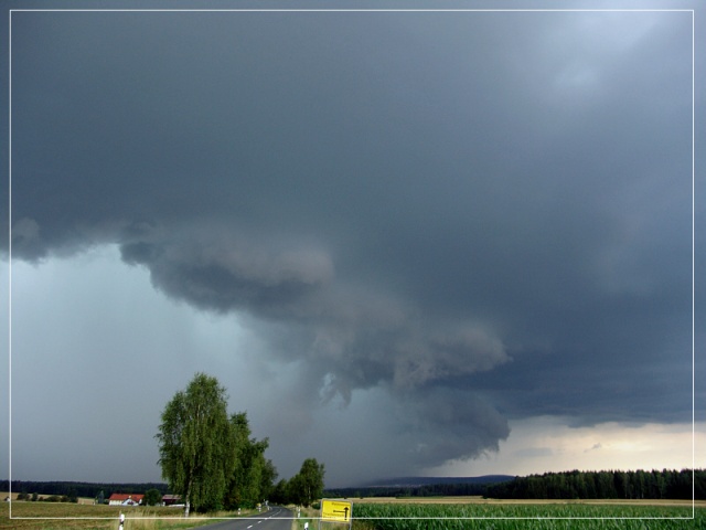
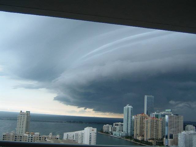
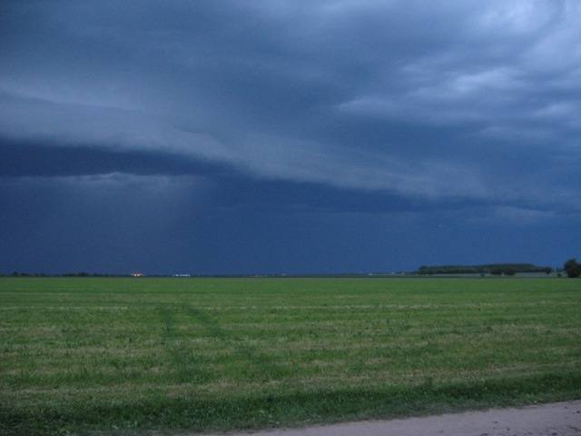
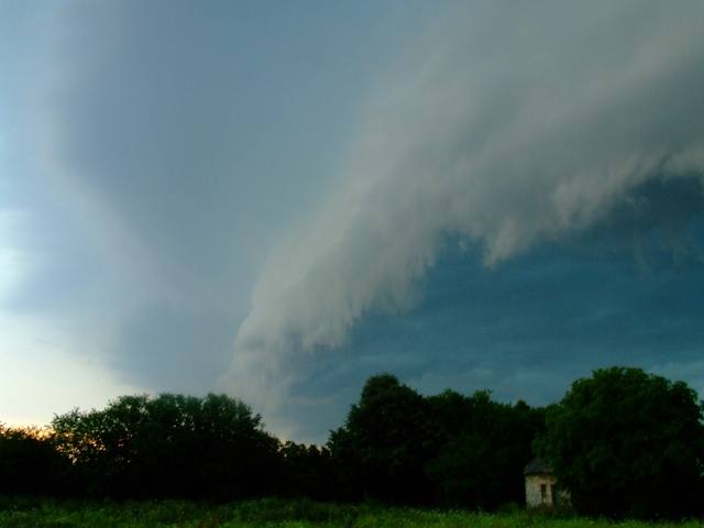
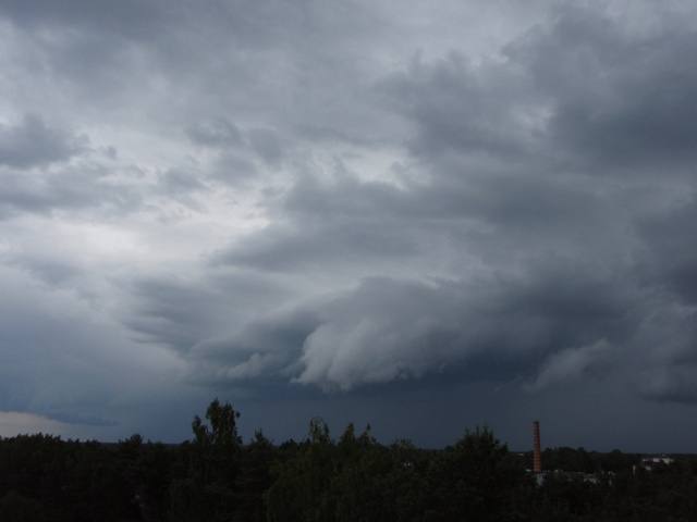
Cumulonimbus arcus Cb arc
Genus Cumulonimbus, Supplementary feature arcus
- Photo
- Walter J. Pilsak
- Location
- Waldsassen
- Taken
- 31 July 2006
Approaching thunderstorm rain with a gust front: Cumulonimbus arcus praecipitatio.
The weather that day
Large-scale weather pattern
Cyclonic westerly Wz
Lows race from west to east across the North Sea and Scandinavia. Fronts and rear sides alternate: ahead of a warm front, cirrus and cirrostratus thicken into altostratus and nimbostratus; in the cool air behind, cumulus and cumulonimbus bring showers. Changeable and often windy.
Typical clouds in this pattern: Cirrus, Cirrostratus, Altostratus, Nimbostratus, Cumulus, Cumulonimbus, Stratocumulus
The weather pattern describes the flow over central Europe on that day – locally, the sky may have looked different.
The sky at nearby weather stations
In the photo: Cumulonimbus arcus
As under “Identify”: ✓ = reported by a weather station, dots = estimated from height and cover (automatic measurement). The stations see their own sky – not necessarily the cloud in the photo.
Does the weather fit the cloud?
Cumulonimbus – observed at a weather station ✓ (Weiden · 38 km · further away · 18:00) · Reanalysis quite possible · Why?
- Observation: An observer at the Weiden station (38 km, 18:00) reports Cumulonimbus.
- Reanalysis (18:00), quite possible: 50 % low, 43 % middle, 100 % high cloud. In daytime thermals reach 600 m, the condensation level (dew-point spread 2.2 °C × 125 m) is at 300 m – rising air condenses. Plus 1.4 mm precipitation in the hour: the heap clouds grow tall enough to bring showers. A heavy shower (1.4 mm) in warm air: often from cumulonimbus. The reanalysis does not report thunder – hence only “quite possible”.
Formation: Thundercloud: a heap cloud grows to great heights in very unstable air; its summit glaciates (fibrous) and often spreads out as an anvil. Lightning, thunder, showers, hail.
Observation before model: what an observer at a weather station reported counts for more than an estimate from a station’s instruments and more than the weather model. Each piece of information counts for less the farther away the station and the further from the time of the photo; the strongest comes first. The ERA5 reanalysis (grid point at the photo location, about 25 km grid spacing) only knows the cover per étage and values at the ground – its level is a rough estimate.
Measurements that day
- Temperature
- 16.5 to 24.0 °C
Between 12:00 and 14:00 the temperature dropped by 4.2 °C.
Sources: observations and measurements from Deutscher Wetterdienst, the German weather service (CC BY 4.0), Wunsiedel-Schönbrunn (24 km W); weather pattern after Hess/Brezowsky from the DWD catalogue GWL-REA; ERA5 reanalysis by Copernicus/ECMWF (CC BY 4.0) via Open-Meteo. Times in local time.

Write a comment or ask a question about this photo
Every comment is read before it is published. Your email address is only needed for the confirmation link and a short message once the comment is online; it is deleted after that.