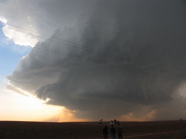
Cumulonimbus arcus Cb arc
Genus Cumulonimbus, Supplementary feature arcus
- Photo
- Janek Zimmer, Website
- Location
- Lamesa, Texas, USA
- Taken
- 5 May 2006
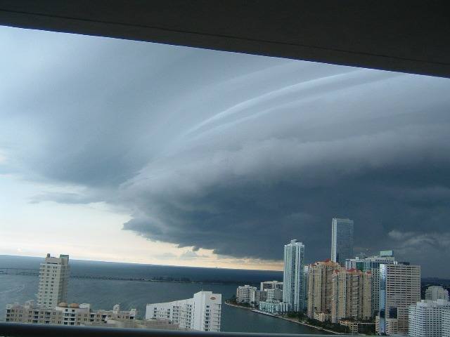
The mighty gust front at the base of this Cumulonimbus is part of a supercell. This is referred to as a Cumulonimbus arcus. Because precipitation is clearly falling from the cloud and the Cb reaches the tropopause, acquiring an anvil shape, we classify this cloud as Cumulonimbus praecipitatio incus arcus.
The weather that day
The sky at nearby weather stations
In the photo: Cumulonimbus arcus
As under “Identify”: ✓ = reported by a weather station, dots = estimated from height and cover (automatic measurement). The stations see their own sky – not necessarily the cloud in the photo.
Measurements that day
- Temperature
- 13.0 to 18.0 °C
- Precipitation
- none measured
Sources: weather reports from the Integrated Surface Database of NOAA (NCEI), Gillespie Field Airport (8 km NE), Montgomery Field Airport (12 km NW); ERA5 reanalysis by Copernicus/ECMWF (CC BY 4.0) via Open-Meteo. Times in local time.

Write a comment or ask a question about this photo
Every comment is read before it is published. Your email address is only needed for the confirmation link and a short message once the comment is online; it is deleted after that.