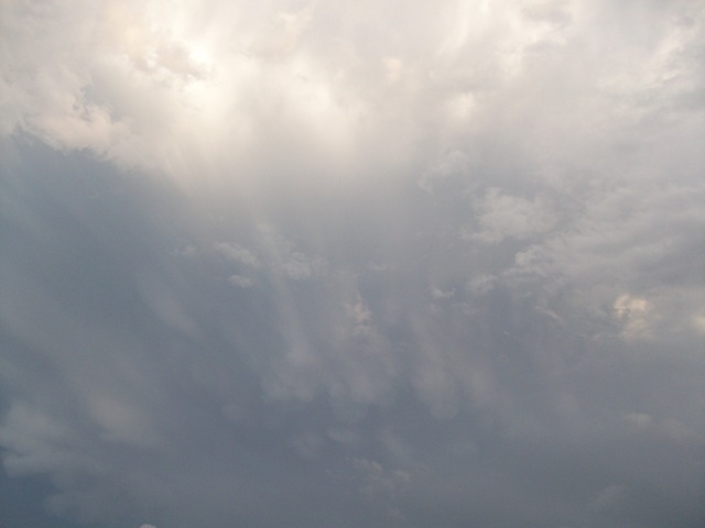
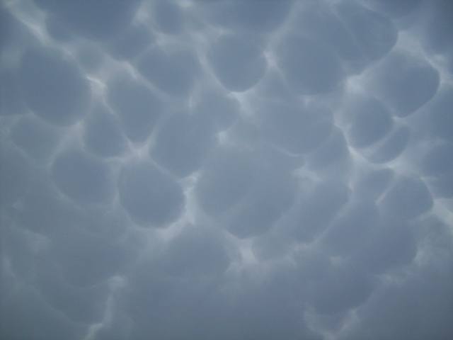
Cumulonimbus mamma Cb mam
Genus Cumulonimbus, Supplementary feature mamma
- Photo
- Adriana Ruiz
- Location
- Nuevo León, Mexico
- Taken
- 25 May 2009, 19:09
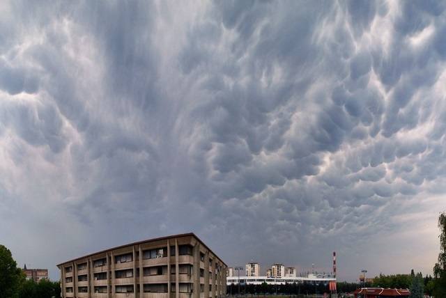
In the lower half of this image, the warty protrusions of a Cumulonimbus mammatus can be seen diffusely.
The weather that day
The sky at nearby weather stations
In the photo: Cumulonimbus mamma · 19:00
Codes = reported genera, grey = estimated only · clear = observer reports no clouds · none meas. = instrument detected none · ? = no data · – = partly hidden or without data (details on hover) · “Photo” = hour the photo was taken.
As under “Identify”: ✓ = reported by a weather station, dots = estimated from height and cover (automatic measurement). The stations see their own sky – not necessarily the cloud in the photo.
Does the weather fit the cloud?
Cumulonimbus – observed at a weather station ✓ (Monterrey N.l. · 6 km · 19:00) · Why?
- Observation: An observer at the Monterrey N.l. station (6 km, 19:00) reports Cumulonimbus.
Formation: Thundercloud: a heap cloud grows to great heights in very unstable air; its summit glaciates (fibrous) and often spreads out as an anvil. Lightning, thunder, showers, hail.
Observation before model: what an observer at a weather station reported counts for more than an estimate from a station’s instruments and more than the weather model. Each piece of information counts for less the farther away the station and the further from the time of the photo; the strongest comes first. The ERA5 reanalysis (grid point at the photo location, about 25 km grid spacing) only knows the cover per étage and values at the ground – its level is a rough estimate.
Measurements at the time of the photo
- Temperature
- 37.4 °C · Dew point 13.9 °C
- Humidity
- 25 %
- Wind
- from the south-east, 18 km/h (Beaufort 3)
- Precipitation
- none measured
Air pressure fell by 2.2 hPa in the three hours before the photo was taken.
Rule of thumb for the base of heap clouds: about 2,950 m above the station (125 m per degree between temperature and dew point).
Sources: weather reports from the Integrated Surface Database of NOAA (NCEI), Monterrey N.l. (6 km N); ERA5 reanalysis by Copernicus/ECMWF (CC BY 4.0) via Open-Meteo. Times in local time.
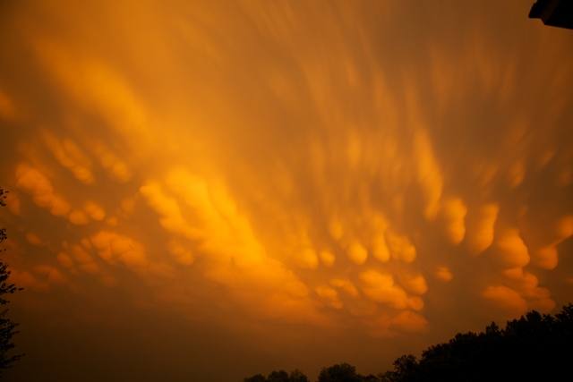
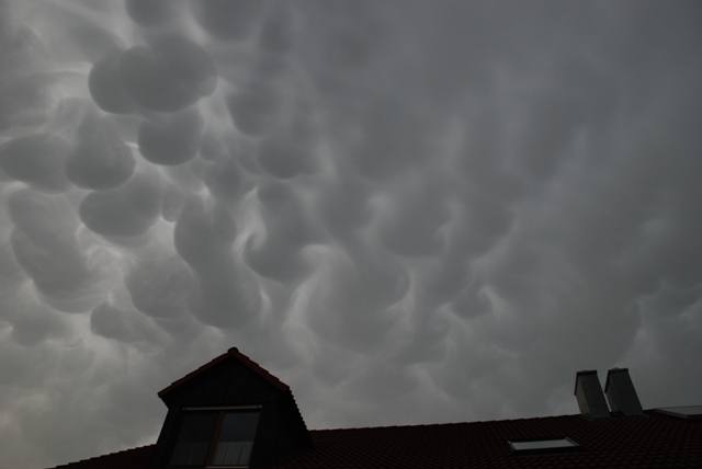
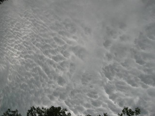
Write a comment or ask a question about this photo
Every comment is read before it is published. Your email address is only needed for the confirmation link and a short message once the comment is online; it is deleted after that.