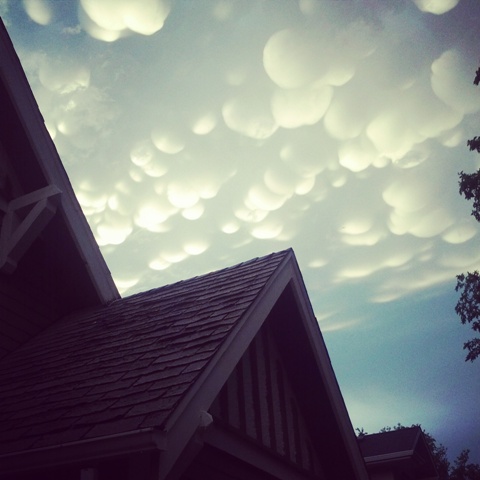
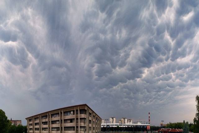
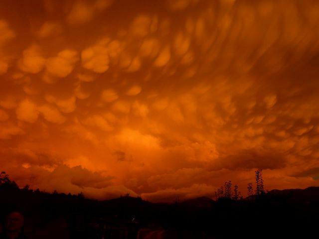
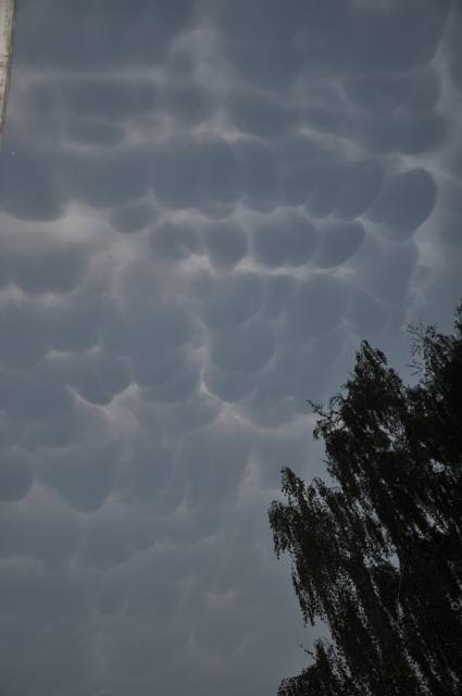
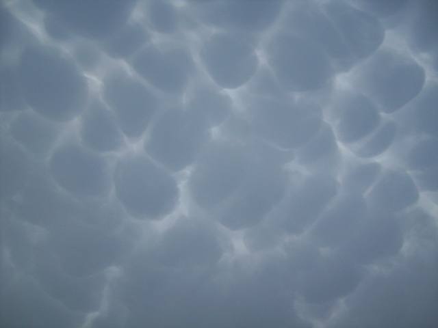
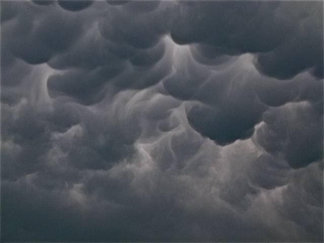
Cumulonimbus mamma Cb mam
Genus Cumulonimbus, Supplementary feature mamma
- Photo
- Anthony Challenger
- Location
- Regina, Saskatchewan, Canada
- Taken
- 26 June 2012, 20:45
These pouch-shaped protrusions occur particularly frequently on the undersides of Cumulonimbus clouds. Cause of formation: still unclear! However, there are already some theories attempting to explain this special cloud form, but more measurements are necessary to confirm them. Since mammatus are of limited scientific interest, a definitive explanation will probably have to wait. Nevertheless, the passionate cloud enthusiast will delight in this cloud form.
The weather that day
The sky at nearby weather stations
In the photo: Cumulonimbus mamma · 21:00
Codes = reported genera, grey = estimated only · clear = observer reports no clouds · none meas. = instrument detected none · ? = no data · – = partly hidden or without data (details on hover) · “Photo” = hour the photo was taken.
As under “Identify”: ✓ = reported by a weather station, dots = estimated from height and cover (automatic measurement). The stations see their own sky – not necessarily the cloud in the photo.
Does the weather fit the cloud?
Cumulonimbus – observed at a weather station ✓ (Regina Intl · 4 km · 21:00) · Reanalysis quite possible · Why?
- Observation: An observer at the Regina Intl station (4 km, 21:00) reports Cumulonimbus.
- Reanalysis (20:00), quite possible: 48 % low, 35 % middle, 100 % high cloud. In daytime thermals reach 350 m, the condensation level (dew-point spread 2.4 °C × 125 m) is at 300 m – rising air condenses. Plus 11.2 mm precipitation in the hour: the heap clouds grow tall enough to bring showers. A heavy shower (11.2 mm) in warm air: often from cumulonimbus. The reanalysis does not report thunder – hence only “quite possible”.
Formation: Thundercloud: a heap cloud grows to great heights in very unstable air; its summit glaciates (fibrous) and often spreads out as an anvil. Lightning, thunder, showers, hail.
Observation before model: what an observer at a weather station reported counts for more than an estimate from a station’s instruments and more than the weather model. Each piece of information counts for less the farther away the station and the further from the time of the photo; the strongest comes first. The ERA5 reanalysis (grid point at the photo location, about 25 km grid spacing) only knows the cover per étage and values at the ground – its level is a rough estimate.
Measurements at the time of the photo
- Temperature
- 18.0 °C · Dew point 15.0 °C
- Humidity
- 83 %
- Wind
- from the north, 13 km/h (Beaufort 3)
- Precipitation
- none measured
Between 18:00 and 20:00 the temperature dropped by 6.8 °C.
Rule of thumb for the base of heap clouds: about 400 m above the station (125 m per degree between temperature and dew point).
Sources: weather reports from the Integrated Surface Database of NOAA (NCEI), Regina Rcs Sask (4 km SW); ERA5 reanalysis by Copernicus/ECMWF (CC BY 4.0) via Open-Meteo. Times in local time.
Write a comment or ask a question about this photo
Every comment is read before it is published. Your email address is only needed for the confirmation link and a short message once the comment is online; it is deleted after that.