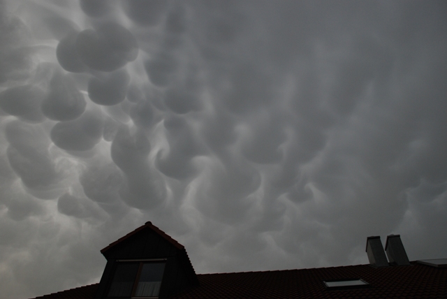
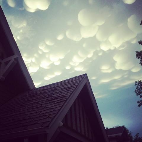
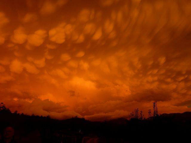
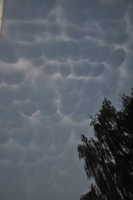
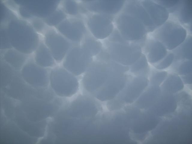
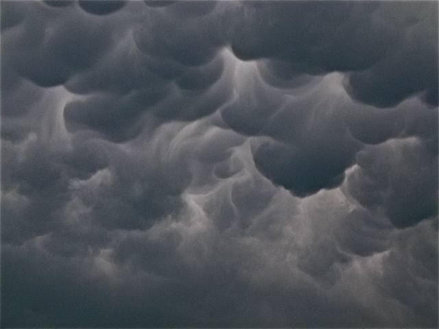
Cumulonimbus mamma Cb mam
Genus Cumulonimbus, Supplementary feature mamma
- Location
- Roth, Germany
- Taken
- 20 August 2012, 19:08
In addition to Cumulonimbus mamma, this could also be a Stratocumulus opacus mamma. Due to the obviously large horizontal extent of the cloud base and the lack of further information (thunderstorm?), we can agree on Cumulonimbus.
The weather that day
Large-scale weather pattern
Anticyclonic south-westerly SWa
A high over south-eastern Europe draws in warm air from the south-west. Plenty of sun, hot in summer; on some days high clouds and altocumulus castellanus show that thunderstorms are brewing. Mild in winter, with fog and low stratus in valleys.
Typical clouds in this pattern: Cirrus, Altocumulus, Cumulus, Stratus
The weather pattern describes the flow over central Europe on that day – locally, the sky may have looked different.
The sky at nearby weather stations
In the photo: Cumulonimbus mamma · 19:00
Codes = reported genera, grey = estimated only · clear = observer reports no clouds · none meas. = instrument detected none · ? = no data · – = partly hidden or without data (details on hover) · “Photo” = hour the photo was taken.
As under “Identify”: ✓ = reported by a weather station, dots = estimated from height and cover (automatic measurement). The stations see their own sky – not necessarily the cloud in the photo.
Does the weather fit the cloud?
Cumulonimbus – observed at a weather station ✓ (Roth · 4 km · 20:00) · Why?
- Observation: An observer at the Roth station (4 km, 20:00) reports Cumulonimbus.
Formation: Thundercloud: a heap cloud grows to great heights in very unstable air; its summit glaciates (fibrous) and often spreads out as an anvil. Lightning, thunder, showers, hail.
Observation before model: what an observer at a weather station reported counts for more than an estimate from a station’s instruments and more than the weather model. Each piece of information counts for less the farther away the station and the further from the time of the photo; the strongest comes first. The ERA5 reanalysis (grid point at the photo location, about 25 km grid spacing) only knows the cover per étage and values at the ground – its level is a rough estimate.
Measurements at the time of the photo
- Temperature
- 31.8 °C · Dew point 16.7 °C
- Humidity
- 40 %
- Wind
- from the north-west, 21 km/h (Beaufort 4)
Between 17:00 and 19:00 the temperature dropped by 4.5 °C.
Rule of thumb for the base of heap clouds: about 1,900 m above the station (125 m per degree between temperature and dew point).
Sources: observations and measurements from Deutscher Wetterdienst, the German weather service (CC BY 4.0), Roth (4 km S); weather pattern after Hess/Brezowsky from the DWD catalogue GWL-REA; ERA5 reanalysis by Copernicus/ECMWF (CC BY 4.0) via Open-Meteo. Times in local time.
Write a comment or ask a question about this photo
Every comment is read before it is published. Your email address is only needed for the confirmation link and a short message once the comment is online; it is deleted after that.