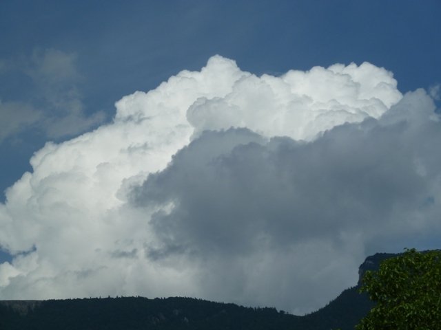
Cumulus congestus
- Photo
- Rebecca Jenzer
- Location
- Selzach, Switzerland
- Taken
- 5 June 2011, 14:20
Massive Cumulus congestus. As soon as parts of the cloud at the top begin to fibrous, i.e. glaciate, it is called Cumulonimbus.
The weather that day
Large-scale weather pattern
Cyclonic southerly Sz
A low over western Europe sends warm, moist air from the south. Föhn on the northern side of the Alps with lens-shaped clouds, later fronts with altostratus and nimbostratus; thunderstorms in summer.
Typical clouds in this pattern: Altocumulus, Altostratus, Nimbostratus, Cumulonimbus
The weather pattern describes the flow over central Europe on that day – locally, the sky may have looked different.
The sky at nearby weather stations
In the photo: Cumulus congestus · 14:00
As under “Identify”: ✓ = reported by a weather station, dots = estimated from height and cover (automatic measurement). The stations see their own sky – not necessarily the cloud in the photo.
Sources: observations and measurements from Deutscher Wetterdienst, the German weather service (CC BY 4.0); weather pattern after Hess/Brezowsky from the DWD catalogue GWL-REA. Times in local time.
Similar photos
-
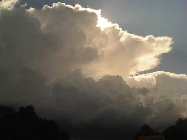 Cumulonimbus capillatus incus +1 District of Dachau 2012
-
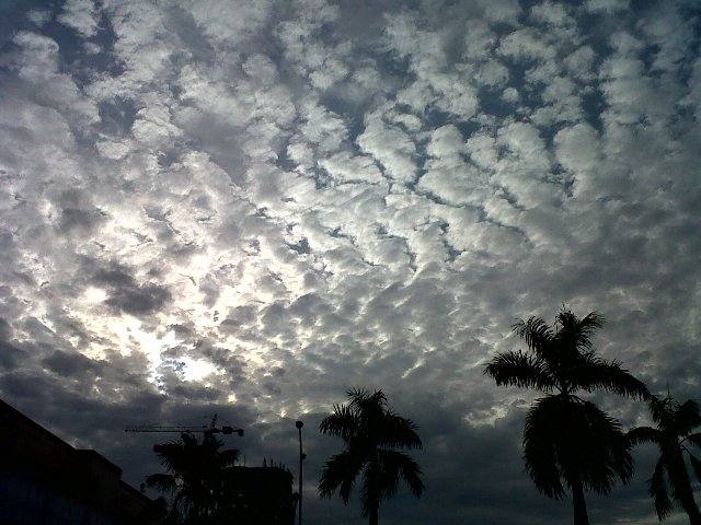 Altocumulus stratiformis perlucidus translucidus undulatus +2 Jakarta 2011
-
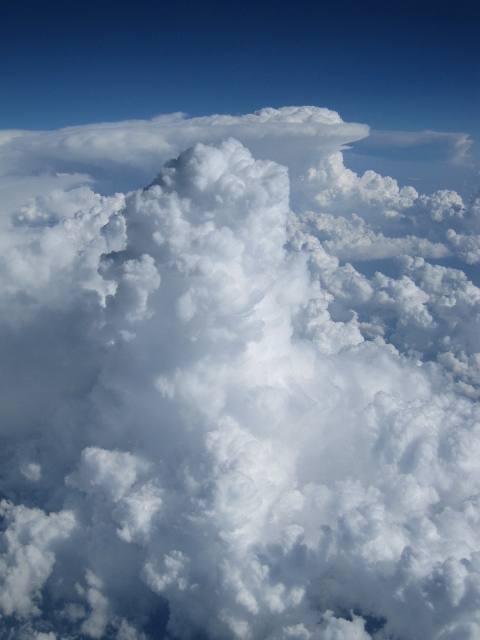 Cumulus mediocris +2 over Hungary 2011
-
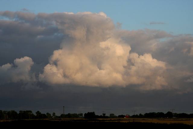 Cumulus congestus Sankt Michaelisdonn 2009
-
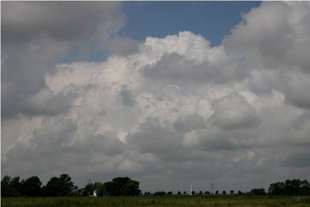 Cumulus congestus Sankt Michaelisdonn 2009
-
 Cumulus congestus Iraklio 2009
-
 Cumulus congestus Rome 2009
-
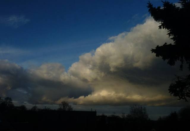 Cumulus congestus Chemnitz 2009
Write a comment or ask a question about this photo
Every comment is read before it is published. Your email address is only needed for the confirmation link and a short message once the comment is online; it is deleted after that.