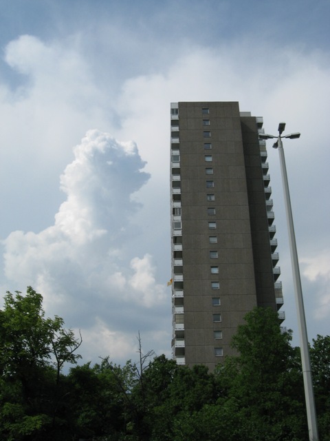
Cumulus congestus Cu con
Genus Cumulus, Species congestus
- Photo
- Stefan Bauer
- Location
- Mainz
- Taken
- 15 May 2008, 16:02
To the left, next to the "residential tower," the cloud tower called Cumulus congestus.
The weather that day
Large-scale weather pattern
High over the Norwegian Sea, cyclonic HNz
A high over the Norwegian Sea while lows move across central and southern Europe. Cool and changeable, often rain from nimbostratus or showers from cumulus and cumulonimbus.
Typical clouds in this pattern: Nimbostratus, Stratocumulus, Cumulus, Cumulonimbus
The weather pattern describes the flow over central Europe on that day – locally, the sky may have looked different.
The sky at nearby weather stations
In the photo: Cumulus congestus · 16:00
As under “Identify”: ✓ = reported by a weather station, dots = estimated from height and cover (automatic measurement). The stations see their own sky – not necessarily the cloud in the photo.
Does the weather fit the cloud?
Cumulus humilis – according to the reanalysis possible (17:00) · Why?
- Reanalysis: 9 % low, 43 % middle, 84 % high cloud.
- In daytime thermals reach 1,900 m, the condensation level (dew-point spread 7.5 °C × 125 m) is at 950 m – rising air condenses.
- This usually produces separate heap clouds – too small for the reanalysis to show them as significant low cloud.
Formation: Heap cloud: warm air bubbles (thermals) rise, cool and condense at the condensation level – hence the flat base. How tall they grow depends on the instability above.
Simplified rules applied to the ERA5 reanalysis for this day (grid point at the photo location, about 25 km grid spacing). The reanalysis only knows the cover per étage and values at the ground – the level is a rough estimate, not a measurement.
Also reported at nearby weather stations: Cumulus
Measurements at the time of the photo
- Temperature
- 23.1 °C · Dew point 10.3 °C
- Humidity
- 44 %
- Wind
- from the south, 14 km/h (Beaufort 3)
- Precipitation
- 0.4 mm over the whole day
Between 16:00 and 18:00 the temperature dropped by 4.6 °C.
Rule of thumb for the base of heap clouds: about 1,600 m above the station (125 m per degree between temperature and dew point).
Sources: observations and measurements from Deutscher Wetterdienst, the German weather service (CC BY 4.0), Mainz-Lerchenberg (ZDF) (6 km W), Frankfurt/Main (18 km E); weather pattern after Hess/Brezowsky from the DWD catalogue GWL-REA; ERA5 reanalysis by Copernicus/ECMWF (CC BY 4.0) via Open-Meteo. Times in local time.
Similar photos
-
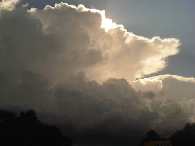 Cumulonimbus capillatus incus +1 District of Dachau 2012
-
 Altocumulus stratiformis perlucidus translucidus undulatus +2 Jakarta 2011
-
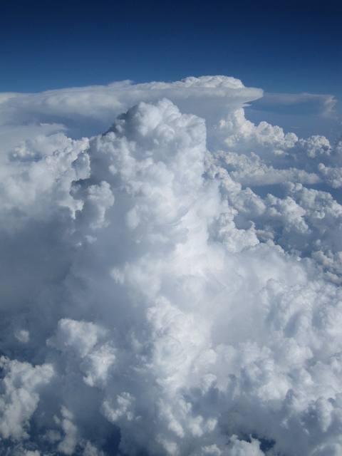 Cumulus mediocris +2 over Hungary 2011
-
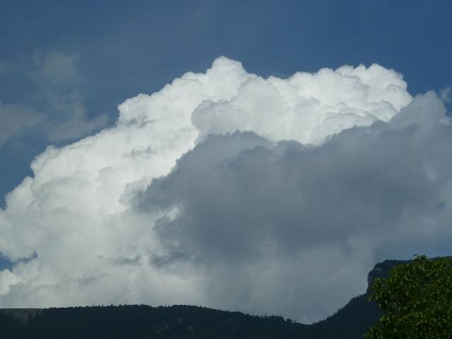 Cumulus congestus Selzach 2011
-
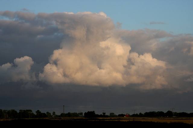 Cumulus congestus Sankt Michaelisdonn 2009
-
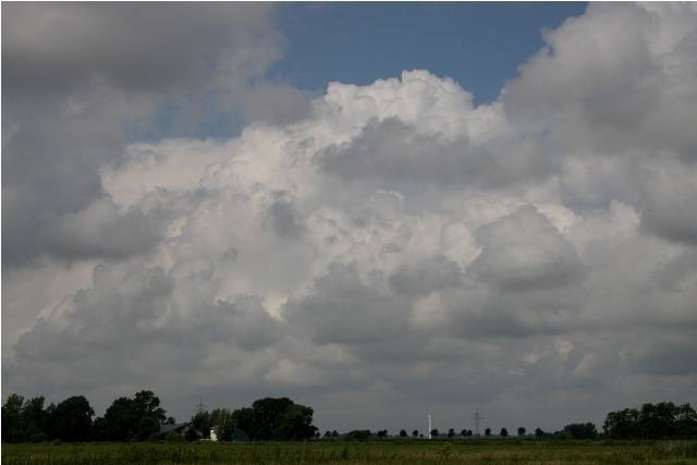 Cumulus congestus Sankt Michaelisdonn 2009
-
 Cumulus congestus Iraklio 2009
-
 Cumulus congestus Rome 2009
Write a comment or ask a question about this photo
Every comment is read before it is published. Your email address is only needed for the confirmation link and a short message once the comment is online; it is deleted after that.