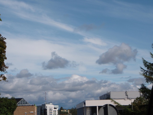
Cumulus mediocris
- Photo
- Jüri Kamenik
- Location
- Tartu, Estonia
- Taken
- 29 August 2008, 12:12
In the background, Cumulus mediocris, which, as opposed to Cumulus congestus (rule of thumb: vertical extent greater than horizontal) and Cumulus humilis (vertical extent smaller than horizontal), has approximately equal horizontal and vertical extent. Of course, this is only a rule of thumb, but it helps to distinguish these three types of Cumulus clouds in the transition area. At altitude, Cirrus fibratus can also be seen in this photo, and in the foreground, Cumulus fractus.
The weather that day
The sky at nearby weather stations
In the photo: Cumulus mediocris · 12:00
As under “Identify”: ✓ = reported by a weather station, dots = estimated from height and cover (automatic measurement). The stations see their own sky – not necessarily the cloud in the photo.
Also reported at nearby weather stations: Cumulus
Measurements at the time of the photo
- Temperature
- 14.0 °C · Dew point 13.0 °C
- Humidity
- 94 %
- Wind
- from the north-west, 13 km/h (Beaufort 3)
- Precipitation
- 6.5 mm over the whole day
Air pressure rose by 2.4 hPa in the three hours before the photo was taken.
Rule of thumb for the base of heap clouds: about 150 m above the station (125 m per degree between temperature and dew point).
Sources: weather reports from the Integrated Surface Database of NOAA (NCEI), Tartu (8 km S). Times in local time.
Similar photos
-
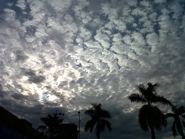 Altocumulus stratiformis perlucidus translucidus undulatus +2 Jakarta 2011
-
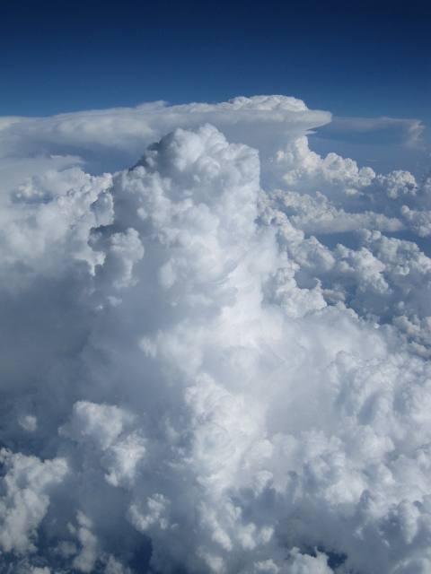 Cumulus mediocris +2 over Hungary 2011
-
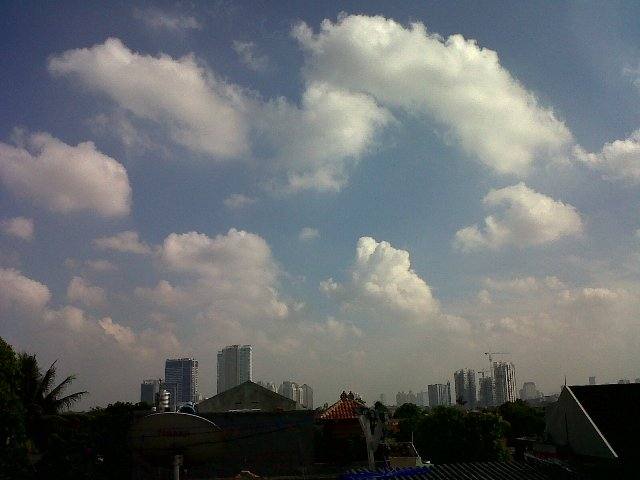 Cumulus humilis +1 Jakarta 2011
-
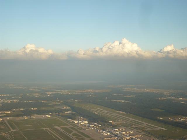 Cumulus mediocris Houston 2009
-
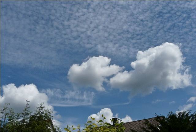 Cirrocumulus stratiformis floccus lacunosus +2 Darmstadt 2009
-
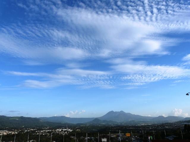 Cirrocumulus undulatus +2 Guatemala City 2009
-
 Cumulus mediocris +2 Haselau 2009
-
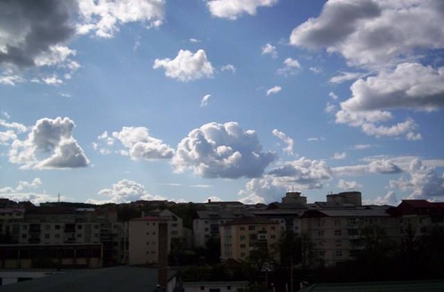 Cumulus congestus +2 Zalau 2008
Write a comment or ask a question about this photo
Every comment is read before it is published. Your email address is only needed for the confirmation link and a short message once the comment is online; it is deleted after that.