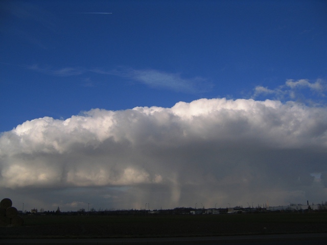
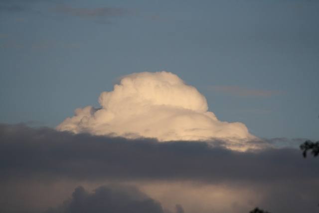
Cumulus praecipitatio Cu pra
Genus Cumulus, Supplementary feature praecipitatio
- Photo
- Uwe Reiss
- Location
- Leipzig
- Taken
- 7 February 2007, 15:00
Below this Cumulus, virga can be seen reaching down to the ground – precipitation. This is referred to as a Cumulus praecipitatio.
The weather that day
Large-scale weather pattern
South-shifted westerly Ws
The westerly flow lies further south and lows cross central Europe directly. Frequent rain from nimbostratus and altostratus, windy; in winter often snow along the boundary between mild and cold air.
Typical clouds in this pattern: Nimbostratus, Altostratus, Stratocumulus, Cumulonimbus
The weather pattern describes the flow over central Europe on that day – locally, the sky may have looked different.
The sky at nearby weather stations
In the photo: Cumulus praecipitatio · 15:00
As under “Identify”: ✓ = reported by a weather station, dots = estimated from height and cover (automatic measurement). The stations see their own sky – not necessarily the cloud in the photo.
Does the weather fit the cloud?
Cumulus congestus – according to the reanalysis quite possible (15:00) · Why?
- Reanalysis (15:00), quite possible: 39 % low, 76 % middle, 92 % high cloud. In daytime thermals reach 300 m, the condensation level (dew-point spread 0.6 °C × 125 m) is at 100 m – rising air condenses. Plus 0.4 mm precipitation in the hour: the heap clouds grow tall enough to bring showers.
Formation: Heap cloud: warm air bubbles (thermals) rise, cool and condense at the condensation level – hence the flat base. How tall they grow depends on the instability above.
Observation before model: what an observer at a weather station reported counts for more than an estimate from a station’s instruments and more than the weather model. Each piece of information counts for less the farther away the station and the further from the time of the photo; the strongest comes first. The ERA5 reanalysis (grid point at the photo location, about 25 km grid spacing) only knows the cover per étage and values at the ground – its level is a rough estimate.
Measurements at the time of the photo
- Temperature
- 0.9 °C · Dew point -0.7 °C
- Humidity
- 89 %
- Wind
- from the south-east, 8 km/h (Beaufort 2)
- Precipitation
- 0.3 mm in the hour of the photo · 2.1 mm over the whole day
Rule of thumb for the base of heap clouds: about 200 m above the station (125 m per degree between temperature and dew point).
Sources: observations and measurements from Deutscher Wetterdienst, the German weather service (CC BY 4.0), Leipzig-Holzhausen (6 km SE); weather pattern after Hess/Brezowsky from the DWD catalogue GWL-REA; ERA5 reanalysis by Copernicus/ECMWF (CC BY 4.0) via Open-Meteo. Times in local time.
Similar photos
-
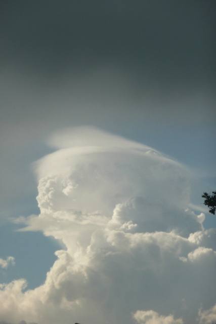 Cumulus velum Oldenburg 2012
-
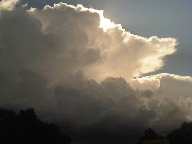 Cumulonimbus capillatus incus +1 District of Dachau 2012
-
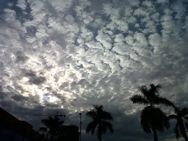 Altocumulus stratiformis perlucidus translucidus undulatus +2 Jakarta 2011
-
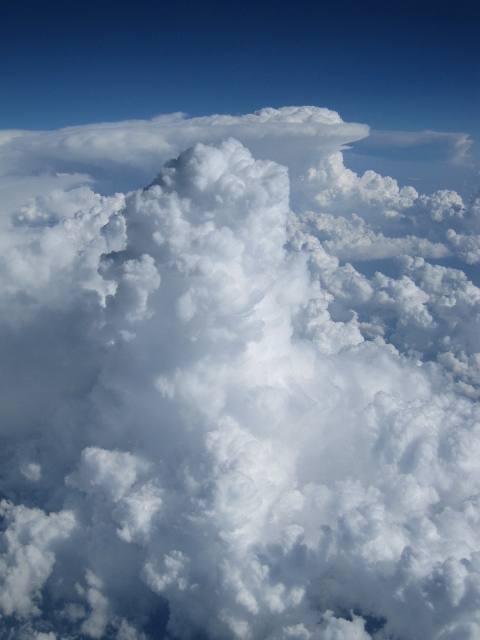 Cumulus mediocris +2 over Hungary 2011
-
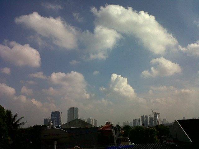 Cumulus humilis +1 Jakarta 2011
-
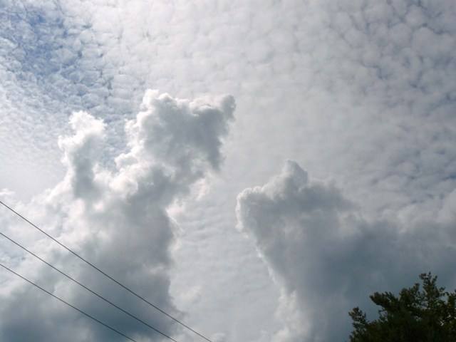 Altocumulus stratiformis perlucidus translucidus +1 Saint-Jérôme 2011
-
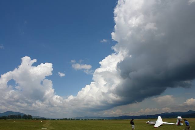 Cumulus radiatus Deva 2011
-
 Cumulus pileus Black Forest 2011
Write a comment or ask a question about this photo
Every comment is read before it is published. Your email address is only needed for the confirmation link and a short message once the comment is online; it is deleted after that.