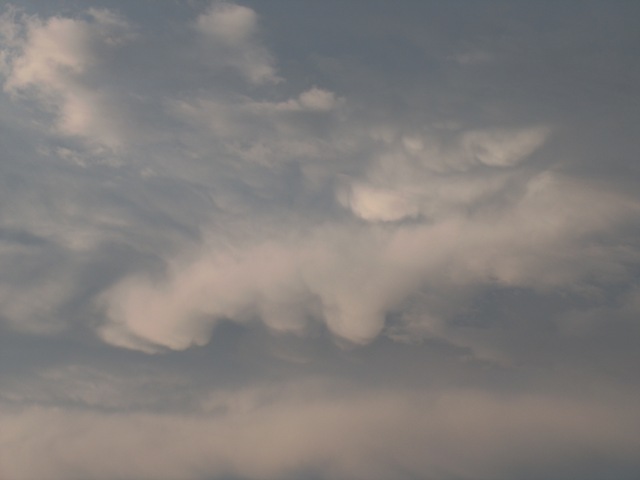
Stratocumulus mamma Sc mam
Genus Stratocumulus, Supplementary feature mamma
- Photo
- Cimpean Ioana
- Location
- Zalau, Romania
- Taken
- 8 September 2008, 18:19
In the centre of the photo there is a stratocumulus layer with protrusions on the underside of the cloud. These protrusions are called mamma or mammatus.
The weather that day
The sky at nearby weather stations
In the photo: Stratocumulus mamma · 18:00
As under “Identify”: ✓ = reported by a weather station, dots = estimated from height and cover (automatic measurement). The stations see their own sky – not necessarily the cloud in the photo.
Does the weather fit the cloud?
Stratocumulus stratiformis – according to the reanalysis quite possible (20:00) · Why?
- Reanalysis: 30 % low, 24 % middle, 38 % high cloud.
- Low cloud without thermals reaching its base: stratocumulus.
Formation: Low layer of clumps or rolls beneath a stable layer (inversion). Forms through radiative cooling and mixing at the cloud top, or when heap clouds spread out under the inversion.
Simplified rules applied to the ERA5 reanalysis for this day (grid point at the photo location, about 25 km grid spacing). The reanalysis only knows the cover per étage and values at the ground – the level is a rough estimate, not a measurement.
Measurements at the time of the photo
- Temperature
- 19.0 °C · Dew point 17.0 °C
- Humidity
- 88 %
- Wind
- from the south-east, 7 km/h (Beaufort 2)
Between 15:00 and 17:00 the temperature dropped by 5.0 °C.
Sources: weather reports from the Integrated Surface Database of NOAA (NCEI), Satu Mare (57 km N); ERA5 reanalysis by Copernicus/ECMWF (CC BY 4.0) via Open-Meteo. Times in local time.
Similar photos
-
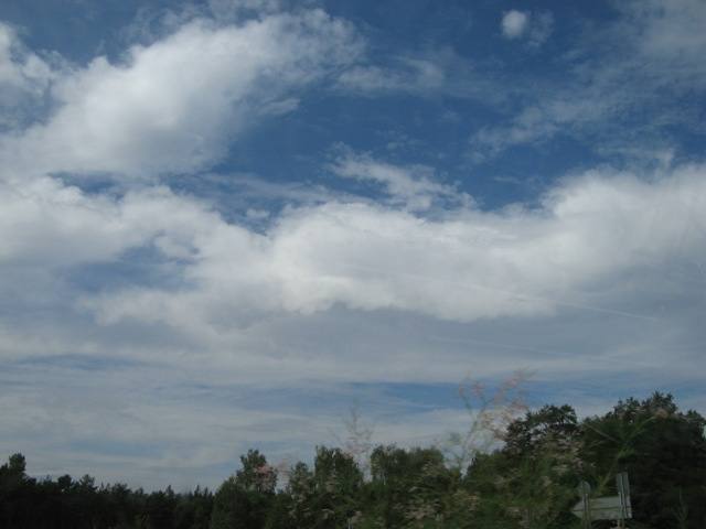 Stratocumulus mamma Germany 2010
-
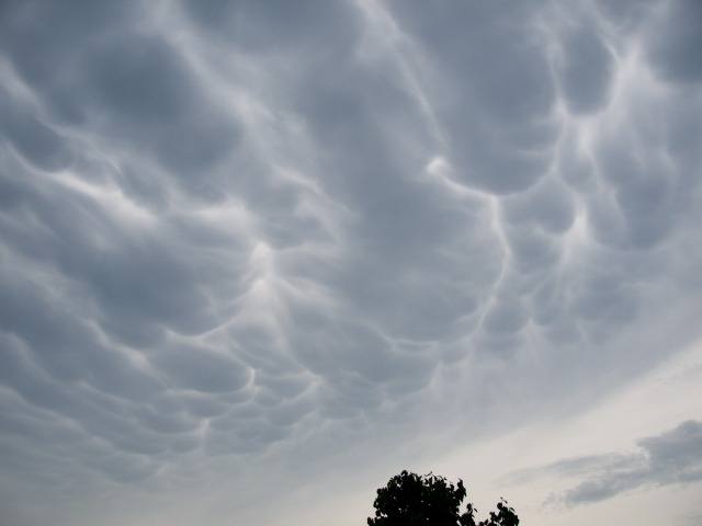 Stratocumulus mamma Hamburg 2009
-
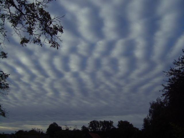 Stratocumulus undulatus Möhnesee 2012
-
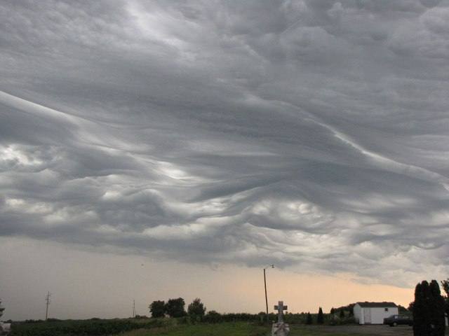 Stratocumulus asperitas St. Matthew's Cemetery 2012
-
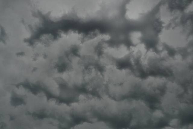 Stratocumulus lacunosus Darmstadt 2012
-
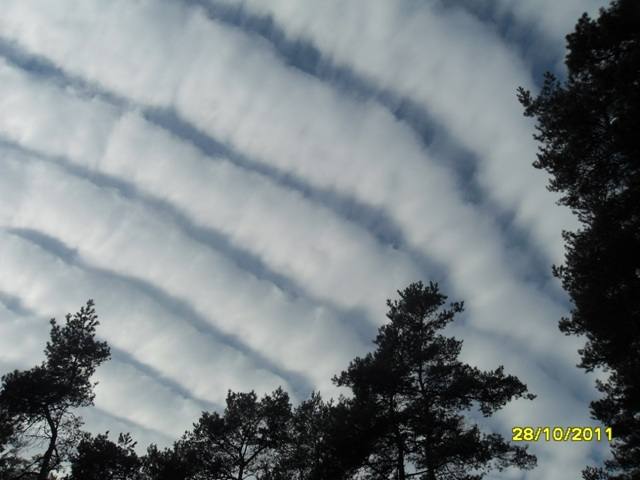 Stratocumulus undulatus Hademstorf 2011
-
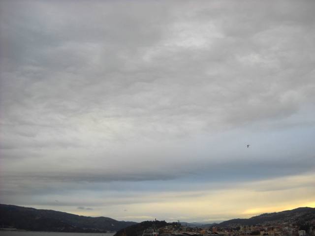 Stratocumulus radiatus Vigo 2011
-
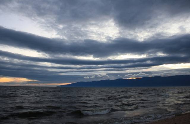 Stratocumulus undulatus Lake Baikal 2011
Write a comment or ask a question about this photo
Every comment is read before it is published. Your email address is only needed for the confirmation link and a short message once the comment is online; it is deleted after that.