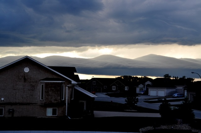
Stratocumulus undulatus
Stratocumulus undulatus Sc un
Genus Stratocumulus, Variety undulatus
- Photo
- Eric Muise
- Location
- Steinbach, Manitoba, Canada
- Taken
- 3 July 2008
Above the residential area, a pronounced wave structure can be seen on the horizon within Stratocumulus undulatus. Beneath a dark, closed cloud layer – typical of the stratiform sector of a summer cold front or a thunderstorm system – the light of a narrow horizon strip highlights several softly curved, smooth wave crests, while the cloud base below remains darkly shaded.
Physically, these structures form in the flat Canadian prairie (Red River Valley) due to internal atmospheric gravity waves or along the stably layered boundary where thunderstorm outflow air is descending. At greater cloud height, Altocumulus undulatus might be considered as an alternative genus, but the low apparent altitude and compact base primarily indicate Stratocumulus. The smooth, rounded crests also resemble the lenticularis type. However, since the location is in a flat plain without mountainous triggers, classic stationary lee waves are ruled out; these are traveling waves at an air mass boundary.
The asperitas special form can also be excluded: although it commonly occurs around North American prairie thunderstorms, asperitas describes a chaotically furrowed, undulating cloud base seen from below, whereas here the smooth tops of the waves are visible against the backlight. Nor is a gust front or roll cloud (special forms arcus or genus volutus) present, since there is no single, continuously rotating roll, but rather several adjacent, staggered wave crests.
The weather that day
Clouds at nearby weather stations
| Station | 6:00 | 9:00 | 12:00 | 15:00 | 18:00 | 21:00 |
|---|---|---|---|---|---|---|
| Winnipeg Intl / James Armstrong Richardson Intl59 km NW | 4/8 · base 7,200 m | 2/8 · base 7,200 m | 4/8 · base 1,260 m | 7/8 · base 1,860 m | 7/8 · base 1,770 m | 2/8 · base 2,700 m |
Abbreviations = reported cloud genera, from low to high; grey = only cover in oktas and cloud base reported (automatic measurement or airport report). Each station sees its own sky – not necessarily the cloud in the photo.
Measurements that day
- Temperature
- 13.0 to 24.0 °C
- Precipitation
- none measured
Sources: weather reports from the Integrated Surface Database of NOAA (NCEI), Winnipeg Ua Man (44 km NW), Winnipeg The Forks Man (51 km NW). Times in local time.
Similar photos
-
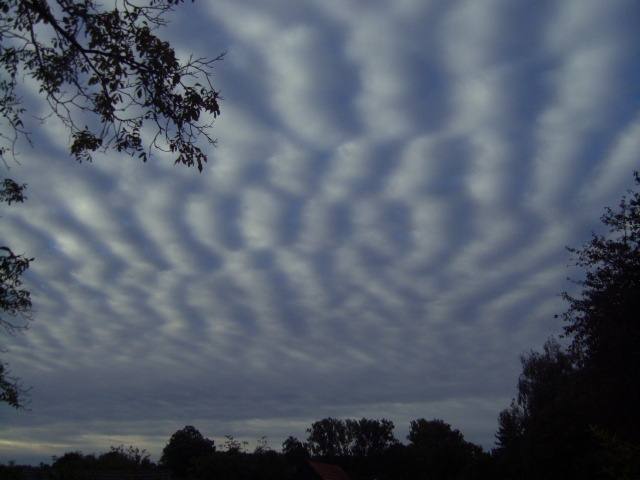 Stratocumulus undulatus Möhnesee 2012
-
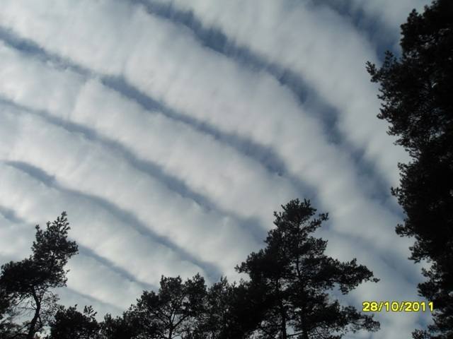 Stratocumulus undulatus Hademstorf 2011
-
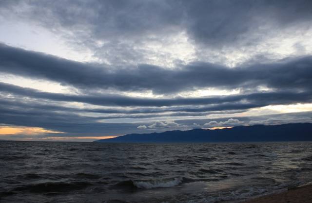 Stratocumulus undulatus Lake Baikal 2011
-
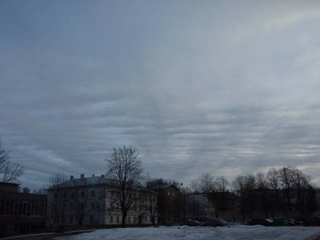 Stratocumulus stratiformis undulatus radiatus Tartu 2009
-
 Stratocumulus undulatus Paola 2008
-
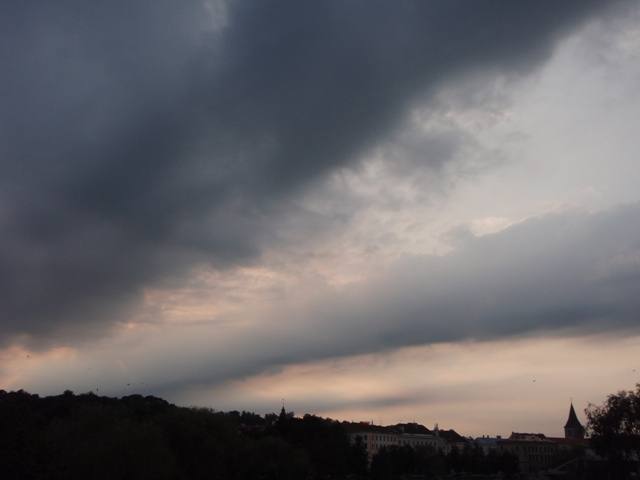 Stratocumulus undulatus Tartu 2008
-
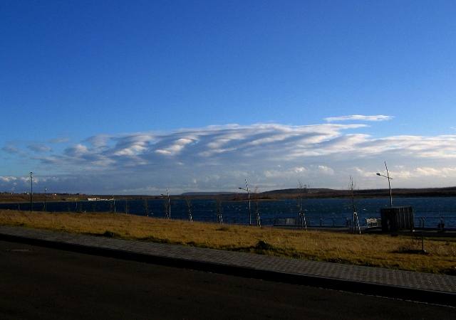 Stratocumulus undulatus Markkleeberg 2007
-
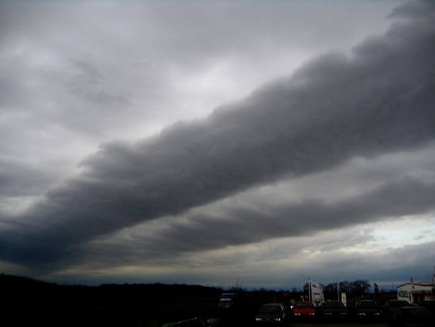 Stratocumulus undulatus Eila 2006
Write a comment or ask a question about this photo
Every comment is read before it is published. Your email address is only needed for the confirmation link and a short message once the comment is online; it is deleted after that.