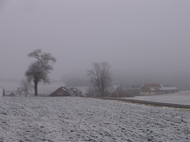
Stratus nebulosus
- Photo
- Stefan Bauer
- Location
- Lobensteig, Pegnitz, Bayreuth
- Taken
- 25 December 2007, 14:39
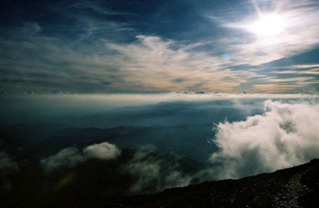
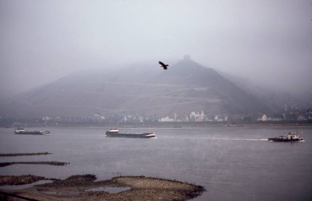
The fog layer (Stratus nebulosus) hangs so low that the treetops almost disappear into the clouds.
The weather that day
Large-scale weather pattern
Anticyclonic south-westerly SWa
A high over south-eastern Europe draws in warm air from the south-west. Plenty of sun, hot in summer; on some days high clouds and altocumulus castellanus show that thunderstorms are brewing. Mild in winter, with fog and low stratus in valleys.
Typical clouds in this pattern: Cirrus, Altocumulus, Cumulus, Stratus
The weather pattern describes the flow over central Europe on that day – locally, the sky may have looked different.
The sky according to the reanalysis
In the photo: Stratus nebulosus · 15:00
As under “Identify”: ✓ = reported by a weather station, dots = estimated from height and cover (automatic measurement). The stations see their own sky – not necessarily the cloud in the photo.
Measurements at the time of the photo
- Temperature
- -2.6 °C · Dew point -3.6 °C
- Humidity
- 93 %
- Wind
- from the east, 9 km/h (Beaufort 2)
- Precipitation
- none measured
Sources: observations and measurements from Deutscher Wetterdienst, the German weather service (CC BY 4.0), Heinersreuth-Vollhof (25 km N), Fichtelberg/Oberfranken-Hüttstadl (32 km NE), Pegnitz (3 km W); weather pattern after Hess/Brezowsky from the DWD catalogue GWL-REA; ERA5 reanalysis by Copernicus/ECMWF (CC BY 4.0) via Open-Meteo. Times in local time.



Write a comment or ask a question about this photo
Every comment is read before it is published. Your email address is only needed for the confirmation link and a short message once the comment is online; it is deleted after that.