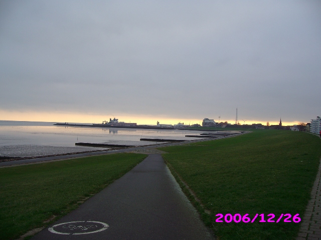
Stratus opacus St op
Genus Stratus, Variety opacus
- Photo
- Carsten Bruns
- Location
- Cuxhaven
- Taken
- 26 December 2006
This dense low fog, which is so dark that the sun no longer shines through, is called Stratus nebulosus opacus.
The weather that day
Large-scale weather pattern
High over central Europe HM
A high sits right over central Europe and winds are light. Sunny in summer; small heaps of cumulus (humilis and mediocris) form during the day and dissolve in the evening. In autumn and winter fog or low stratus often collects beneath the inversion, with sunshine above it.
Typical clouds in this pattern: Cumulus, Stratus, Cirrus
The weather pattern describes the flow over central Europe on that day – locally, the sky may have looked different.
The sky at nearby weather stations
In the photo: Stratus opacus
As under “Identify”: ✓ = reported by a weather station, dots = estimated from height and cover (automatic measurement). The stations see their own sky – not necessarily the cloud in the photo.
Does the weather fit the cloud?
Stratus – observed at a weather station ✓ (Cuxhaven · 1 km · 5:00) · Reanalysis quite possible · Why?
- Observation: An observer at the Cuxhaven station (1 km, 5:00) reports Stratus.
- Reanalysis (8:00), quite possible: 98 % low, 0 % middle, 2 % high cloud. Air near the ground almost saturated (dew-point spread 2.1 °C) and no thermals: the cloud base is very low – stratus.
Formation: Very low, uniform layer formed by cooling of moist air near the ground (radiation, moist air advection) or when fog lifts.
Observation before model: what an observer at a weather station reported counts for more than an estimate from a station’s instruments and more than the weather model. Each piece of information counts for less the farther away the station and the further from the time of the photo; the strongest comes first. The ERA5 reanalysis (grid point at the photo location, about 25 km grid spacing) only knows the cover per étage and values at the ground – its level is a rough estimate.
Measurements that day
- Temperature
- 3.3 to 4.8 °C
- Precipitation
- none measured
Sources: observations and measurements from Deutscher Wetterdienst, the German weather service (CC BY 4.0), Cuxhaven (1 km NE); weather pattern after Hess/Brezowsky from the DWD catalogue GWL-REA; ERA5 reanalysis by Copernicus/ECMWF (CC BY 4.0) via Open-Meteo. Times in local time.
Similar photos
-
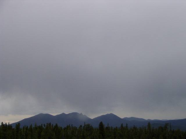 Stratus opacus Rocky Mountains 2006
-
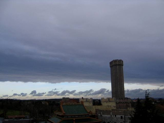 Stratus opacus +1
-
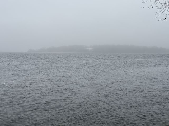 Stratus nebulosus praecipitatio Berlin-Wannsee 2025
-
 Hole Punch Cloud, Cirrocumulus stratiformis undulatus, Stratus Gronau 2012
-
 Stratocumulus +1 Rhineland-Palatinate 2011
-
 Stratus fractus Ayaş 2010
-
 Stratus fractus Innsbruck 2008
-
 Stratus nebulosus Lobensteig 2007
Write a comment or ask a question about this photo
Every comment is read before it is published. Your email address is only needed for the confirmation link and a short message once the comment is online; it is deleted after that.