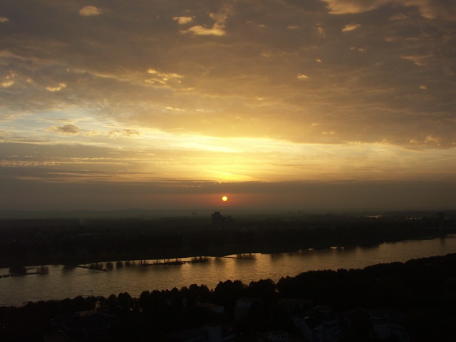
Altocumulus radiatus duplicatus, Altocumulus stratiformis, Cirrus
Altocumulus radiatus duplicatus Ac ra du
Genus Altocumulus, Variety radiatus, Variety duplicatus
Altocumulus stratiformis Ac str
Genus Altocumulus, Species stratiformis
Cirrus Ci
Genus Cirrus
- Photo
- Marianne Schulz
- Location
- Cologne
- Taken
- 23 September 2006, 07:19
Early in the morning in Cologne, parallel bands of Altocumulus radiatus can be seen in the background sky. Since these appear in two layers one above the other, this is also called Altocumulus duplicatus. In the foreground, there is also an Altocumulus of the stratiformis type (extensive layer). In the cloud band where blue sky is visible, Cirrus is shimmering through.
The weather that day
Large-scale weather pattern
Anticyclonic southerly Sa
A high to the east with warm air flowing in from the south. Mostly dry; north of the Alps often föhn with altocumulus lenticularis, cirrus and remarkably clear visibility.
Typical clouds in this pattern: Altocumulus, Cirrus, Cumulus
The weather pattern describes the flow over central Europe on that day – locally, the sky may have looked different.
Clouds at nearby weather stations
| Station | 6:00 | 7:00 · Photo | 9:00 | 12:00 | 15:00 | 18:00 | 21:00 |
|---|---|---|---|---|---|---|---|
| Köln/Bonn16 km SE | Ac | Ac | Sc Ac | Sc Ac | Ac Ci | Ac Ci | Ac Ci |
| Nörvenich-Niederbolheim23 km SW | Ac | Ac | Sc Ac | Sc Ac | Sc Ac | Sc Ac | Ac |
Abbreviations = reported cloud genera, from low to high; grey = only cover in oktas and cloud base reported (automatic measurement or airport report). Each station sees its own sky – not necessarily the cloud in the photo.
Also reported at nearby weather stations: Altocumulus
Measurements at the time of the photo
- Temperature
- 13.8 °C · Dew point 13.6 °C
- Humidity
- 99 %
- Wind
- from the south, 5 km/h (Beaufort 1)
- Precipitation
- none measured
Sources: observations and measurements from Deutscher Wetterdienst, the German weather service (CC BY 4.0), Köln/Bonn (16 km SE); weather pattern after Hess/Brezowsky from the DWD catalogue GWL-REA. Times in local time.
Similar photos
-
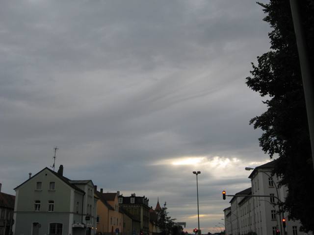 Altocumulus radiatus Amberg 2011
-
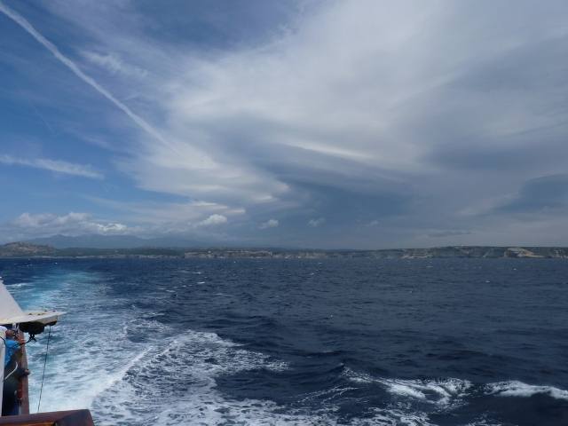 Altocumulus duplicatus Southern Corsica 2012
-
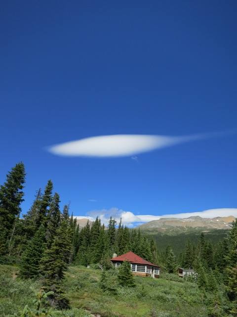 Altocumulus lenticularis Bow Lake 2012
-
 Altocumulus fluctus +1 Zeitz 2012
-
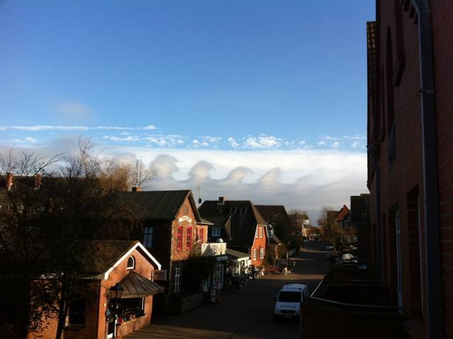 Altocumulus fluctus +1 Norddorf 2011
-
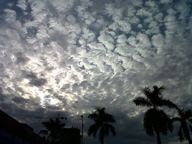 Altocumulus stratiformis perlucidus translucidus undulatus +2 Jakarta 2011
-
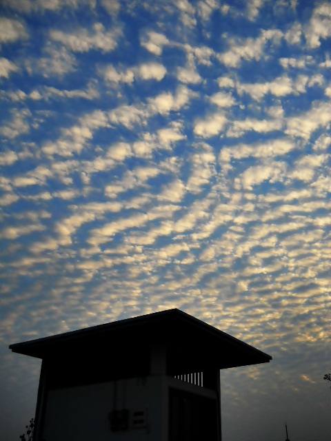 Altocumulus perlucidus Jakarta 2011
-
 Altocumulus mamma Biggleswade 2011
Write a comment or ask a question about this photo
Every comment is read before it is published. Your email address is only needed for the confirmation link and a short message once the comment is online; it is deleted after that.