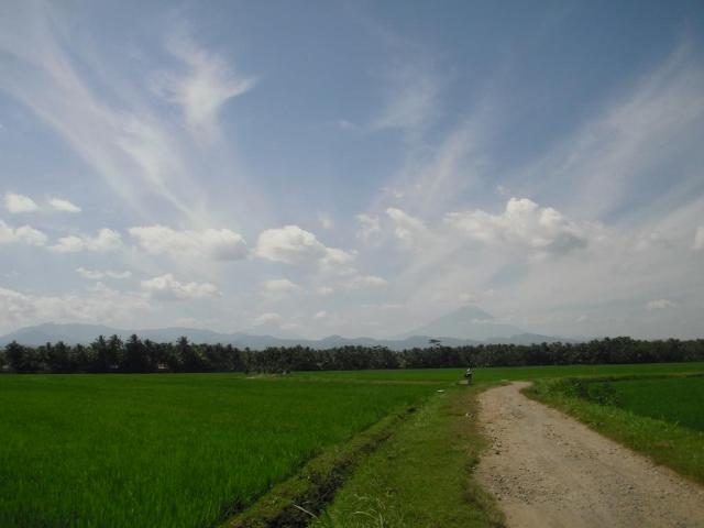
Cumulus humilis Cu hum
Genus Cumulus, Species humilis
- Photo
- Gunarto Pituruh
- Location
- Butuh, Purworeji, Indonesia
- Taken
- 10 June 2011, 13:35
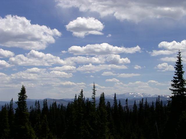
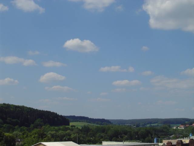
Flat cumulus humilis clouds beneath high cirrus fibratus and, as at the top left, dense cirrus spissatus.
The weather that day
The sky according to the reanalysis
In the photo: Cumulus humilis, Cirrus fibratus, Cirrus spissatus · 14:00
As under “Identify”: ✓ = reported by a weather station, dots = estimated from height and cover (automatic measurement). The stations see their own sky – not necessarily the cloud in the photo.
Does the weather fit the cloud?
Cumulus humilis – according to the reanalysis quite possible (13:00) · Why?
- Reanalysis: 49 % low, 0 % middle, 93 % high cloud.
- In daytime thermals reach 1,050 m, the condensation level (dew-point spread 6.4 °C × 125 m) is at 800 m – rising air condenses.
- Thermals reach only a little above the condensation level: flat fair-weather clouds (humilis).
Formation: Heap cloud: warm air bubbles (thermals) rise, cool and condense at the condensation level – hence the flat base. How tall they grow depends on the instability above.
Cirrus – according to the reanalysis quite possible (15:00) · Why?
- Reanalysis: High cloud 65 %.
- High ice clouds, only partly covering the sky: cirrus.
Formation: Ice cloud at great height (usually above 6 km, below about −35 °C). Forms when moist air is lifted high up, or as left-over ice from convective clouds and contrails; falling crystals make the fibres.
Simplified rules applied to the ERA5 reanalysis for this day (grid point at the photo location, about 25 km grid spacing). The reanalysis only knows the cover per étage and values at the ground – the level is a rough estimate, not a measurement.
Sources: weather reports from the Integrated Surface Database of NOAA (NCEI); ERA5 reanalysis by Copernicus/ECMWF (CC BY 4.0) via Open-Meteo. Times in local time.
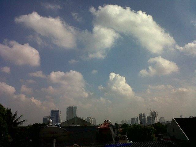
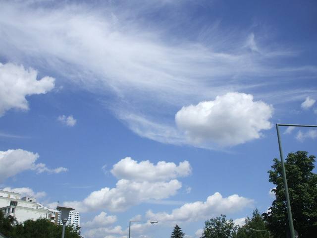



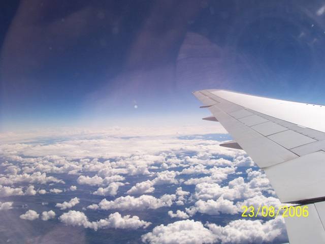
Write a comment or ask a question about this photo
Every comment is read before it is published. Your email address is only needed for the confirmation link and a short message once the comment is online; it is deleted after that.