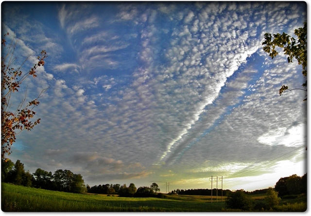
Hole Punch Cloud, Altocumulus stratiformis perlucidus
Altocumulus stratiformis perlucidus Ac str pe
Genus Altocumulus, Species stratiformis, Variety perlucidus
Altocumulus cavum Ac cav
Genus Altocumulus, Supplementary feature cavum
Also visible: Hole punch cloud
- Photo
- Renata Kuss
- Location
- Kitchener, Canada
- Taken
- 6 September 2011, 18:17
The sky in this photo is covered by an extensive Altocumulus stratiformis, which has small cloud openings (perlucidus). In the upper left, a large, lens-shaped hole has formed, within which a type of Cirrus has developed. This is a Hole Punch Cloud, which presumably forms when ice crystals from higher layers (e.g. from clouds or artificially produced in aircraft exhaust) fall through lower cloud layers. The water droplets of the lower cloud layer resublimate onto the ice crystals (Bergeron-Findeisen process), leaving only ice clouds remaining.
The weather that day
The sky at nearby weather stations
In the photo: Altocumulus stratiformis perlucidus, Altocumulus cavum · 18:00
As under “Identify”: ✓ = reported by a weather station, dots = estimated from height and cover (automatic measurement). The stations see their own sky – not necessarily the cloud in the photo.
Does the weather fit the cloud?
Altocumulus – observed at a weather station ✓ (Hamilton · 54 km · far away · 20:00) · Why?
- Observation: An observer at the Hamilton station (54 km, 20:00) reports Altocumulus.
Formation: Layer at middle height (2–6 km), usually a few hundred metres thick. Radiative cooling at the top and mixing create small overturning cells – hence clumps, rolls and waves.
Observation before model: what an observer at a weather station reported counts for more than an estimate from a station’s instruments and more than the weather model. Each piece of information counts for less the farther away the station and the further from the time of the photo; the strongest comes first. The ERA5 reanalysis (grid point at the photo location, about 25 km grid spacing) only knows the cover per étage and values at the ground – its level is a rough estimate.
Measurements at the time of the photo
- Temperature
- 16.0 °C · Dew point 10.0 °C
- Humidity
- 68 %
- Wind
- from the north-east, 17 km/h (Beaufort 3)
- Precipitation
- none measured
Sources: weather reports from the Integrated Surface Database of NOAA (NCEI), Waterloo (11 km E); ERA5 reanalysis by Copernicus/ECMWF (CC BY 4.0) via Open-Meteo. Times in local time.
Similar photos
-
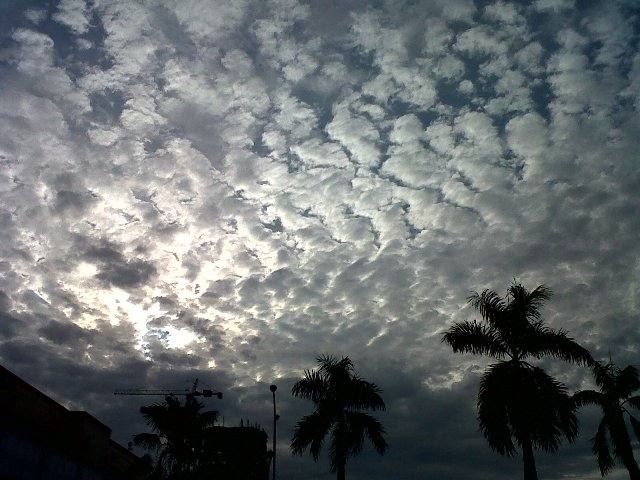 Altocumulus stratiformis perlucidus translucidus undulatus +2 Jakarta 2011
-
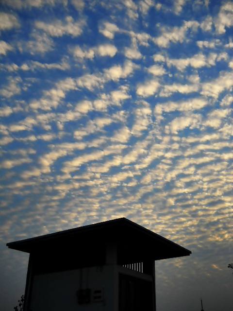 Altocumulus perlucidus Jakarta 2011
-
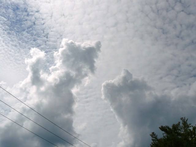 Altocumulus stratiformis perlucidus translucidus +1 Saint-Jérôme 2011
-
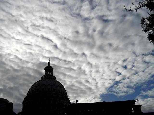 Altocumulus stratiformis undulatus translucidus perlucidus Bandung 2011
-
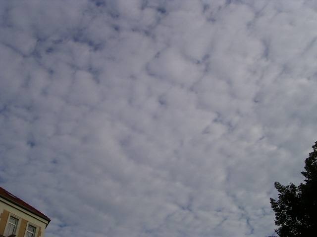 Altocumulus perlucidus Leipzig 2006
-
 Altocumulus perlucidus Lake Michigan 2006
-
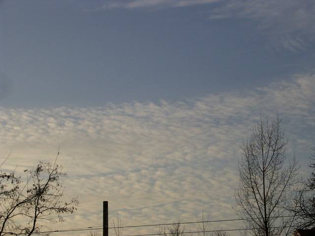 Altocumulus perlucidus Leipzig 2006
-
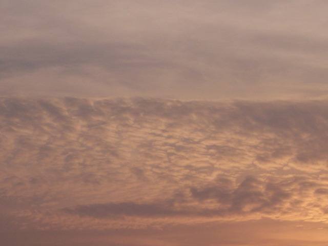 Altocumulus perlucidus Osnabrück 2005
Write a comment or ask a question about this photo
Every comment is read before it is published. Your email address is only needed for the confirmation link and a short message once the comment is online; it is deleted after that.